TRACK 2, DAY 2
ABSTRACT
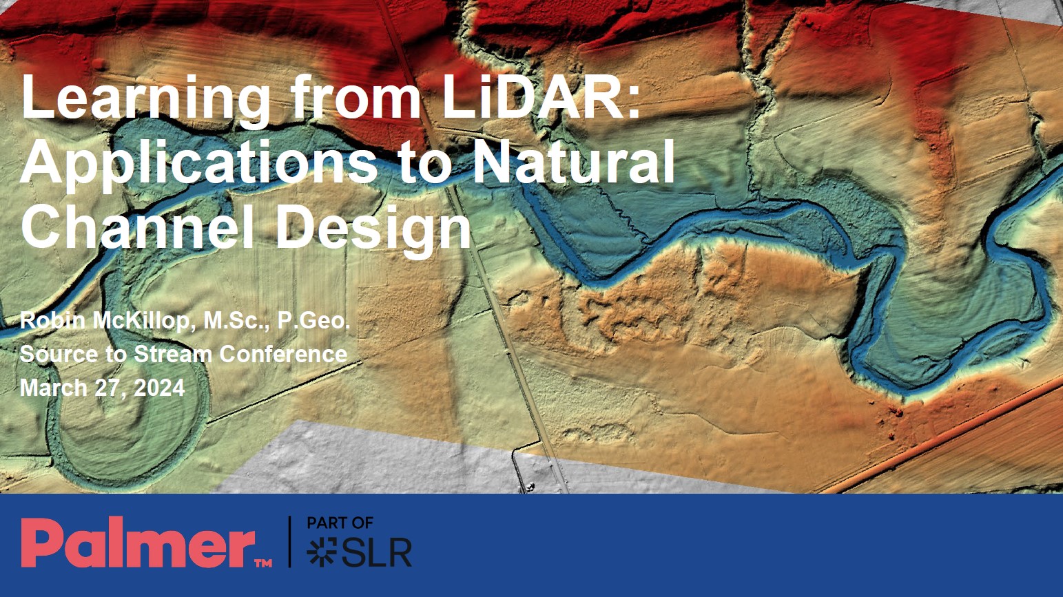
Fundamental to the success of any natural channel design (NCD) is an understanding of geomorphological setting and site history. The widespread availability of high-resolution LiDAR-derived topographic data has revolutionized how practitioners can assess sites where NCD is proposed.
LiDAR-derived datasets, through their digital elevation models, hillshade renderings and, in some cases, change detection results, significantly strengthen desktop-based characterizations beyond what has traditionally been possible through interpretation of aerial photography and regional mapping.
Case study examples from southern Ontario demonstrate how LiDAR data can inform channel planform, profile, cross-section and boundary characteristics:
- LiDAR data were used to improve understanding of planform adjustments and
- LiDAR-derived profiles informed understanding of local base level controls and landslide-related sensitivities along Voyageur Creek in Ottawa.
- LiDAR-derived valley-bottom cross-sections revealed a history of down-cutting and channel entrenchment along urbanized Newtonbrook Creek.
- LiDAR-derived hillshade models helped differentiate alluvial and non-alluvial channel boundary materials along Rouge River.
Online viewers of LiDAR data are recommended as a default screening tool, like Google Earth, when contextualizing any NCD project.
ABOUT THE PRESENTER

Robin McKillop, Palmer
Robin McKillop is Palmer’s Principal Geomorphologist. Robin has more than 20 years of experience developing innovative and practical strategies for addressing environmental challenges faced by municipalities, land developers and resource industries across Canada.
Robin’s focus on applications of fluvial geomorphology in southern Ontario has greatly benefited from his complementary expertise in hillslope processes and glacial landforms.