TRACK 2
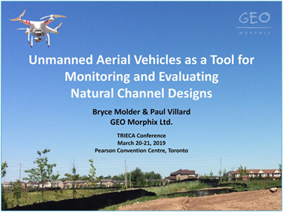
Unmanned Aerial Vehicles as a Tool for Monitoring and Evaluating Natural Channel Designs
ABSTRACT
Unmanned Aerial Vehicles (UAVs) are increasingly deployed for monitoring construction projects and characterizing natural rivers.
However, a knowledge gap persists when it comes to the implementation of UAVs to assist in the monitoring of natural channel designs through all stages of construction, even as concurrent advances in technology facilitate more applications for this tool.
Fundamentally, the bird’s-eye perspective of a UAV can provide a better overview of channel corridor conditions than ground photographs.
Using high-resolution imagery and photogrammetry software, it is possible to render textured 3D models and aerial mosaics from short flights, allowing for precise (±5 cm) analyses of feature dimensions and channel planform, to ensure congruence with technical designs.
Following construction, design performance and riparian vegetation growth can be evaluated and monitored with regular UAV flights.
Furthering the tool’s applicability, UAVs equipped with thermal and multispectral sensors allow for assessment of water temperature, vegetation growth, and differentiation between plant species.
The limitations to the technology must also be understood. These include the effect of vegetative cover on 3D models, and of weather on survey range and time.
Given that aerial platforms and UAVs have the potential to become an integral part of monitoring and evaluation programs for channel designs, a thorough review of the tool’s application is of great value and importance.
Learning Objectives
1. To provide the audience with an understanding of the quality of data which may be acquired with an entry level drone
2. To share GEO Morphix’s experience in using UAVs for monitoring/surveying purposes, identifying notable challenges and limitations
3. To improve understanding of the rules and regulations associated with commercial UAV use in Canada
ABOUT THE PRESENTER

Bryce Molder
Bryce Molder is the UAV operations manager at GEO Morphix Ltd. He uses UAVs to help implement and monitor natural channel designs throughout Ontario.,
As part of GEO Morphix’s restoration design team he is also involved, from concept to implementation, in habitat restoration and erosion mitigation projects.
Bryce earned a MSc degree in Geography and B.Sc. degree in Earth Surface Science from the University of Guelph, Ontario.

