TRACK 2, DAY 2
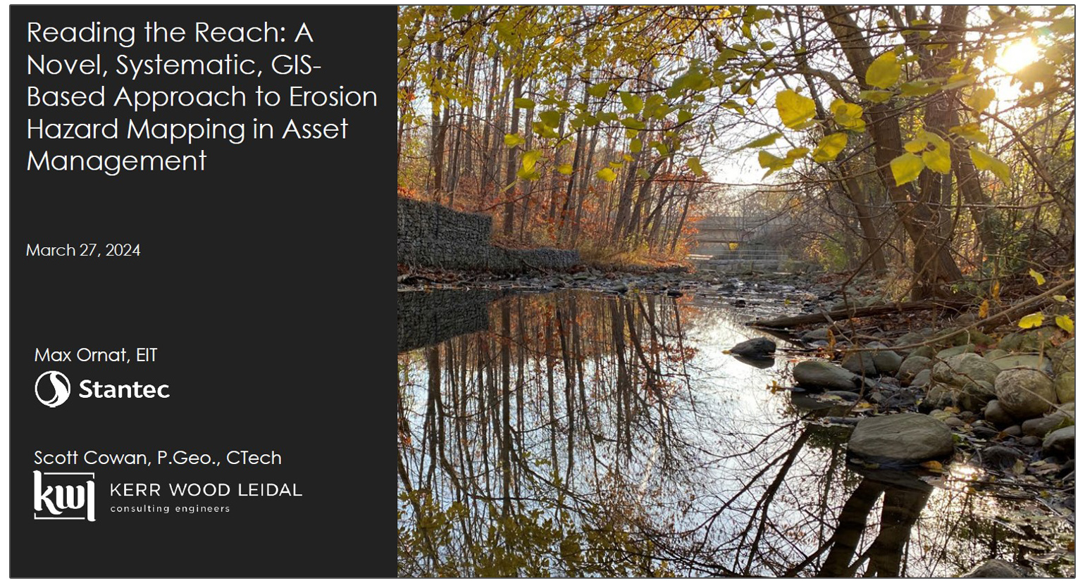
Reading the Reach: A Novel, Systematic, GIS-Based Approach to Erosion Hazard Mapping in Asset Management
ABSTRACT
The Regional Municipality of Peel, like many other municipalities, faces the challenge of improving their asset management programs. With rapidly growing communities and the necessity of increasing climate change resiliency, implementing effective asset management strategies is imperative.
There are over 56,000 sanitary maintenance holes and nearly 2,000 kilometers of regulated watercourses located within the Region. As a result of the quantity of maintenance holes and the density of regulated watercourses within the Region, many of these maintenance holes are susceptible to erosion as a result of ongoing geomorphological processes.
Managing such a large asset portfolio can prove daunting, with each maintenance hole being exposed to a variety of influences that result in a varying degrees of erosion risk.
This presentation will discuss a novel approach to identify, screen, and prioritize the maintenance holes facing risk of erosion as a result of fluvial geomorphological processes. The methods used for analysis will be discussed, along with their effectiveness, and it will be shown how the results were then used to develop a Multicriteria Analysis Tool to rank and prioritize the maintenance holes for mitigation.
It is desired that this presentation stimulates discussion of how the integration of geomorphology into asset management can aid municipalities in improving their resilience to climate change and the efficiency of their asset management programs.
ABOUT THE PRESENTERS

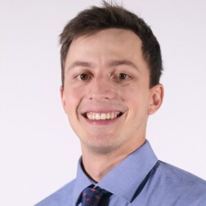
Maximillian Ornat, Stantec Consulting Inc.
Max Ornat is a graduate from the Enironmental Engineering Program at The University of Guelph and has been a Water Resources Specialist at Stantec for the past two years.
He has worked on a variety of projects in the stormwater management, as well as the geomorphology field. Max has diverse field experience and continues to learn and apply practical knowledge to his design work for Stantec.

Scott Cowan, Kerr Wood Leidal Associates Ltd.
Scott is a Professional Geoscientist (P.Geo), team lead, and project manager with over a decade of professional experience helping communities understand and mitigate against riverine flooding and erosion hazards.
Scott has led the assessment and design of hundreds of kilometers of river corridor throughout Canada and the United States. He is a member of the geomorphology subcommittee for Professional Geoscientists of Ontario (PGO) and is a recognized industry leader, often invited to speak at conferences.

